
Visit the Central Reading Room to view “Stony Brook on the Map,” a selection of rare atlases and maps from the University Archives and Special Collections that illustrate the growth and development of Stony Brook University and the Long Island region.
![Blaeu, Willem Janszoon, and Joan Blaeu. Nova Belgica et Anglia Nova. [Amsterdami]: [I. and C. Blaeu?], 1640.](http://library.stonybrook.edu/wp-content/uploads/2016/09/blaue_cropped_6x4.jpg)
Blaeu, Willem Janszoon, and Joan Blaeu. Nova Belgica et Anglia Nova. [Amsterdami]: [I. and C. Blaeu?], 1640.
Beers, F. W. Atlas of Long Island, New York: From Recent and Actual Surveys and Records. New York: Beers, Comstock & Cline, 1873.
Wit, Frederik de. Nova totius terrarum orbis tabula. 1668.
Burr, David H., and Simeon De Witt. An Atlas of the State of New York: Containing a Map of the State and of the Several Counties. New York: D.H. Burr, 1829.
Blaeu, Willem Janszoon, and Joan Blaeu. Nova Belgica et Anglia Nova. [Amsterdami]: [I. and C. Blaeu?], 1640. Oriented with north to the right, Long Island is named Matowacs. Several important place names make their first appearance: Manhates (Manhattan), Hellegat (Hell Gate), and Adrian Blocks eylandt (Block Island).
Auerbach, Larry. The State University of New York at Stony Brook …: A Vision from the Clouds. 1978.
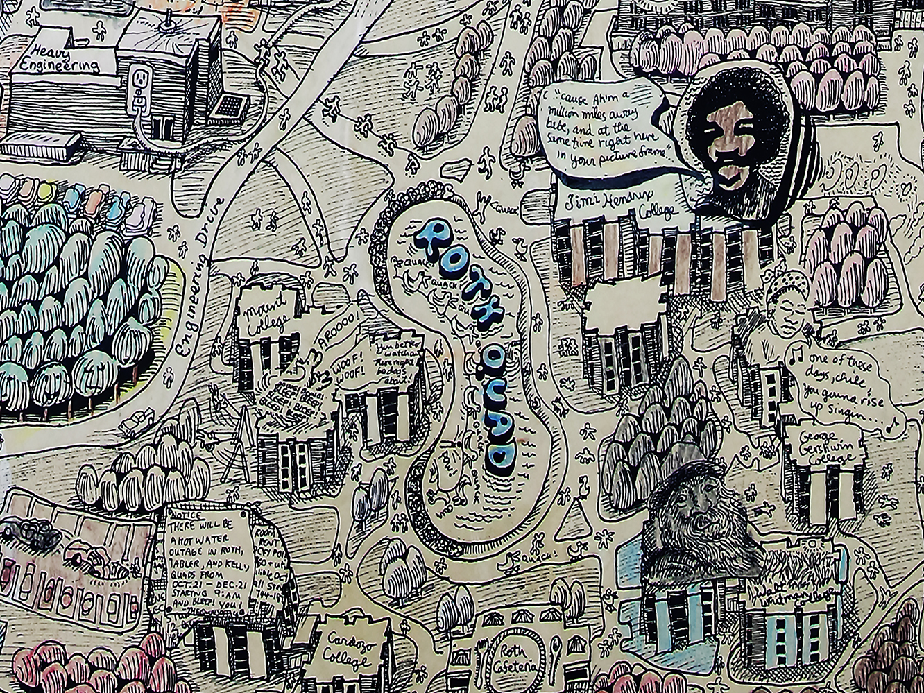
Auerbach, Larry. The State University of New York at Stony Brook…: A Vision from the Clouds. 1978.
Dolph & Stewart. Atlas of Suffolk County. 1929.
Chace, J. Map of Suffolk Co., L.I., New York. Philadelphia: John Douglass, 1858.
Kitchin, Thomas, and R. Baldwin. The Southern Part of the Province of New York: With Part of the Adjoining Colonies. [London]: Printed for R. Baldwin, 1778.
Map, State University of New York at Stony Brook from Abstract of the Bulletin, College of Arts and Sciences, College of Engineering. 1962-1963.
Contact: exhibit curator Kristen Nyitray, Head, Special Collections and University Archives, University Archivist.
kristen.nyitray@stonybrook.edu

Kristen Nyitray
Latest posts by Kristen Nyitray (see all)
- Spring 2024 Art Crawl Recap - March 28, 2024
- #SBUGivingDay is Here! Support SBU Libraries in Digitizing Dan’s Papers - March 27, 2024
- Join Us on the Art Crawl: Wednesday March 27 from 12pm to 3pm - March 18, 2024